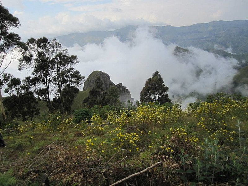
“Mmuock Leteh occupies part of the western half of the semi-circular caldera that attracts several tourists annually.”
Geography
The relief of Mmuock Leteh is irregular. The village lies on the summit of the Bamboutous Mountain ranges: The Maleta Plateau is at 2740 m above sea level, and is the third highest point on the Western Cameroon Highlands. The relief is very accidented in some places characterised by mountain peaks—each of which is called Ntǿ (IPA: [ntɯ]) in the Mmuock language—, steep rolling and pyramidal hills separated by very incised river valleys and ravines.
Mmuock Leteh occupies part of the western half of the semi-circular caldera that attracts several tourists annually. The village is further defined by a concentric alignment of necks and domes known locally as Mntǿ (IPA: [mntɯ]) or peaks. Examples of such peaks include Ntø Maleta (2740 m), Ntø Mangua (2710 m), Ntø Tiahchia, etc.
Mmuock Leteh has a tropical mountainous climate of the sub-equatorial type. The accidented nature of the relief has greatly influenced this climate which is characterised by a long rainy season (mid-March to mid-November) and a shorter dry season (mid-November to mid-March). The monthly rainfall ranges between 35 mm in January and 605 mm in August, August being the wettest month. The temperature varies between 8 and 28 °C: In altitudes above 1800 m asl, night temperatures fall as low as 8 °C during the rainy season.
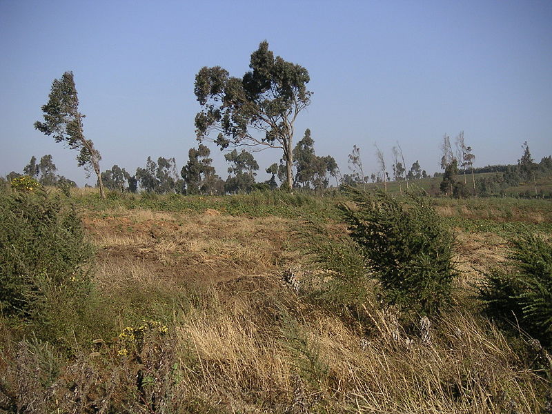
The soils are volcanic, fertile and rich for agricultural production. (This has led to Mmuock Leteh farmers winning prizes at the national agro-pastoral shows in Cameroon: in potatoes, carrots and other vegetables). The soil consists of a vegetal material at the summit (35 cm), followed by a humified horizon of 35 to 40 cm, a tertiary horizon and a clayey horizon. These soils have been largely altered and impoverished by erosion and landslides, leading to the loss of much of its organic materials. The 2003 landslides led to destruction of crops, livestock and infrastructure.


